|
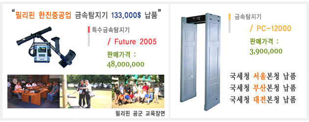
특수금속탐지기/Waterfinder
Waterfinder는 목표 지역에서 물 침전물의 위치를 발견하기 위해 지전계(geo-electric) 방법을 사용한다.
좋은 땅에서 지면 80 m의 깊이까지 그것의 상태를 알아낸다.
이 장비의 취급은 매우 쉬우며,물을 찾기위해 특별히 디자인 되었다.
장치는 아래의 기능성을 가진다:
*자동의 측정 과 분석
*단순히 측정결과를 백분율(%)로 나타낸다.
취득결과를 측정 장소에서의 평가하여 내장화면에 나타낸다.
짧은 시간의 계산으로 이 장비는 측정된 지역에 물이 얼마나 있는지 백분율(%)로 알수 있다.
Waterfinder
The Waterfinder is based on a geo electric measuring method, to locate water deposits.
In good ground conditions penetration depth of up to maximal 80m are possible.
The device is very easy to use and specially designed to detect water.
The device has the following functionality:
* Automatic measurement and analysis
* Simple indication of measured results as percentage
The evaluation of the measured results happens on site and will be indicated
in the integrated display. In a short calculating time the device will indicate
how much water exists in the measured area in percentage.
|